Radiometrics
Multi-channel Radiometrics
To collect radiometric data (natural radioistope concentrations of U, Th, and K) we use intelligent spectrometers from Pico Envirotec, Exploranium, and Radiation Solutions . Spectrometer detectors are always mounted inside the aircraft (cargo box or cargo floor) to allow low-level flight patterns without the compromise of slung geophysical sensors. The spectrometers are self-calibrating and output the full 256 (512) channel radiometric spectrum for processing using PC-based Praga-3 software.
For routine surveys we use five 4.2 litre NaI(Tl) crystals (4 down, 1 up, for a total of 21 liters). For specialty surveys requiring high definition radiometric data we use additional crystal volume (up to 42 liters). For lightweight surveys we can use two crystals shielded against cosmic radiation with RayShield® gamma-attenuating material to provide a very high signal/noise ratio without having to resort to heavy upward-looking detectors.
Flying low level, terrain-following, flights by helicopter provides high downward-looking sensitivity and a high signal/noise ratio which reduces complex mathematical data reduction procedures. Low-level survey flights have the added bonus of enhancing identification of subtle radioactive sources, such as potassium alteration zones in porphyry environments, thorium enrichments associated with rare earth (REE) mineralization, and veins and boulders mineralized with uranium, which may not be detectable by surveys flown at higher altitudes.
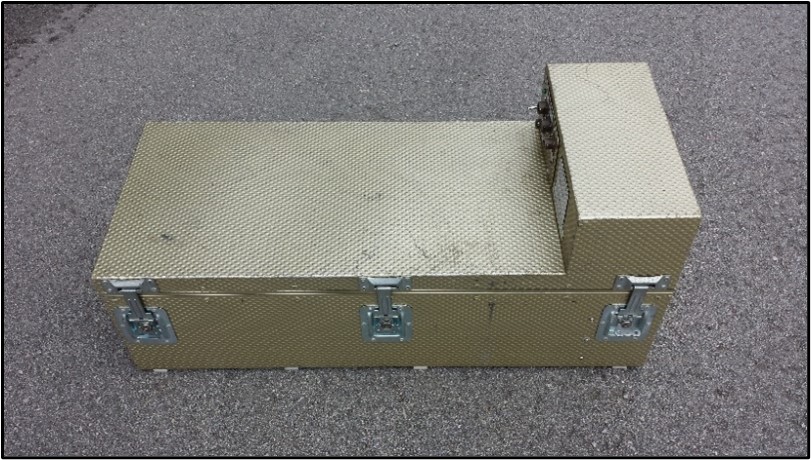
Medusa GR820 gamma spectrometer proprietary to Precision GeoSurveys. It is an intelligent, self-calibrating, fully integrated gamma detection system containing thallium-activated synthetic sodium iodide crystals: 16.8, 21, and 42 litre options.

Ground Spectrometer
For detailed ground radiometric surveys such as rare earth element (REE) exploration, uranium target follow-up, and potassium alteration mapping, we use a Pico GRS-2 spectrometer which is fully integrated with GPS navigation and a digital data logger. Detector volume is 0.35 liters with full 256 channel resolution. The GRS-2 system can be backpack mounted, or carried by ATV or other vehicle at speeds up to about 40 km/h. This system is available for rent, or we can provide an operator.