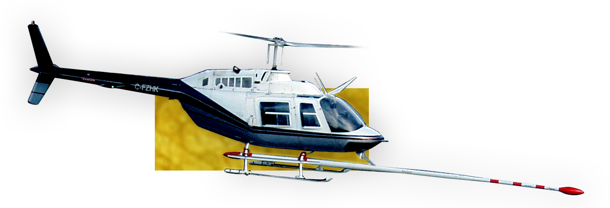
Precision GeoSurveys Inc. specializes in low level airborne geophysical surveys in mountainous terrain to support the following activities: Mineral exploration, diamond exploration, uranium exploration, oil & gas exploration, ground water investigations, geophysical applications, geothermal mapping, radioisotope detection and mapping, unexploded ordnance (UXO) mapping, geotechnical, cultural and engineering investigations.
Harmen is a geologist and helicopter pilot with more than 40 years of experience in mineral exploration and helicopter operations around the world. In addition to geological expertise in a wide variety of deposit models and geological environments, he is a skilled helicopter pilot with 12,000 hours of flight time mostly in specialized exploration and geophysical applications. His unique experience as a geologist and helicopter pilot combined with a passion for exploration have inspired him to develop advanced geophysical survey methods and technologies. He obtained a Bachelor of Science degree in Geology from Saint Mary’s University in 1981.
Jenny Poon, BSc, PGeo
Jenny is a graduate of the University of Calgary geophysics program. She has more than ten years of experience in airborne survey design, data collection, data processing, reporting, and QA/QC procedures using advanced software in complex geophysical environments. She is highly skilled in magnetic, electromagnetic, radiometric, and gravity survey design and implementation, software development, system design and testing, data processing, and advanced interpretation. She is a member of APEGBC, SEG, BCGS, and KEG.
Wendell Huttema, PhD
Wendell is Precision’s electronics specialist, where his responsibilities include ensuring the trouble-free operation and optimum performance of our geophysical systems as well as leading our R+D initiatives on new airborne survey technologies. Prior to joining Precision, Wendell worked as a post-doctoral fellow at Simon Fraser University (SFU) working on 9 Tesla superconducting magnets, dielectric cavity resonators, scanning Hall probe microscopes, and ferromagnetic resonance measurements with coplanar waveguides. This laboratory scale experience combined with his PhD and MSc degrees in Physics from SFU give him a thorough understanding of geophysical technologies and data collection.
Scott J. Thomas, PhD, CPG
Scott is a geophysicist with more than 35 years experience in collecting, processing, and interpreting various types of ground and airborne geophysical data. He previously worked for Amoco, Placer Dome, and Condor Consulting focused on mineral exploration environments in North America, South America, and Africa. Scott has M.Sc. and PhD degrees in geophysical engineering from the University of Arizona.
Shawn D. Walker, MSc, PGeo
Shawn graduated from the University of Alberta with a B.Sc. in geology and a M.Sc. in geophysics. His thesis work investigated the magnetic properties of various rocks from Canada and Siberia, and he is a specialist in the determination of shear zones from aeromagnetic data. He has worked across northern Canada and Alaska in ground and airborne geophysical applications in a wide variety of geological environments and mineral deposit styles. Shawn enjoys working for Precision as a helicopter system operator in addition to applying his skills in geophysical data processing and interpretations.
Erik Keyser, BSc, PGeo
Robert Bradley, BASc
Robert graduated from the University of British Columbia with a BASc degree in electrical engineering, where he earned Dean’s Honour List standing. He is active in software and hardware development related to operational reliability and R+D projects of various geophysical survey systems.
Michael Marriot, HBSc